
PNGUoT’s BULOLO CAMPUS: SET FOR SECOND GRADUATION!
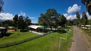
PNGUoT’s BULOLO CAMPUS: SET FOR SECOND GRADUATION SINCE 1995 ! By Phyllia PISEP Papua New Guinea University of Technology’s Bulolo University College (BUC) is preparing for its second graduation tomorrow! This was reintroduced last year after the last graduation was held in 1995 at the former Forestry College before it

Staff’s Housing & Property Manager
Staff Housing and Property Manager The position is based at the Estates and Services Department’s building within the PNG University of Technology – Taraka campus in Lae. The Estates & Services Department oversees the following functions of the University: Maintenance of University’s Properties, Staff’s Housing & Grounds and Stores &
PNGUoT TO DELIVER MASTER OF SCIENCE IN CLIMATE CHANGE AND RENEWABLE ENERGY PROGRAM
PNGUoT TO DELIVER MASTER OF SCIENCE IN CLIMATE CHANGE AND RENEWABLE ENERGY PROGRAM The Papua New Guinea University of Technology has embarked on an exciting partnership with the British government to improve energy access education in Papua New Guinea. This collaboration focuses on researching the challenges surrounding the lack of